
- ascend in the spring, so less snow issues, crevasses are still full, and tons of daylight
- make sure the access road is drivable before you leave the house
- allow a lot of extra time so that you can adapt to weather and other unforseen issues
We did all that. We were feeling great. Really prepared.
Then, the weather forecast lied. 3 times. The border crossing took hours and hours. The access road washed out and was undrivable 3 days before we got there. The same rain that washed out our planned access road also washed most of the snow off of the secondary access road....except for a big, deep, undrivable patch 2 km before we could start skiing. We finally made a break for the summit when the fog lifted, only to discover that the forecast had been wrong yet again, it was much colder than we expected, and we no longer had appropriate gear to ascend safely.
So next year, I guess.
A more formal trip report:
Maps: National Geographic 1:100,000 "North Cascades" (MEC) and USGS 1:24,000 "Mount Baker" (shows complete Heliotrope ridge route, does not show the complete Easton Glacier route)
Access: Heliotrope ridge access road is shut within 1km of the main highway. Totally impassable, and the locals do not estimate a quick fix. Look here for updates (#39, Glacier Creek road). We ended up using the Easton Glacier route, access is just past Baker Lake (FSR's #12 and #13 off of Baker Lake road). At this point this season, the road was almost drivable right to the trailhead. If we had been 5 days earlier, we would have parked 3km away and skinned the whole way. As it was, we parked 3km away and had to walk 2 of them due to lack of snow.
Route:
We followed the well used snowmobile route up to the easton glacier moraine. Protip: bring a case of beer to bribe a snowmobiler for a lift. This section is long, boring, and full of snowmobiles. Try to avoid melting snow for water from here, unless you like motor oil aftertaste.
We camped in the moraine at about 853975 (truncated UTM: see section 3 here for details).
We were planning on getting to high camp the next day, but barely made it out of the moraine before soupy fog rolled in. With zero visibility and crevasses on the mind, we spent the rest of the day in the tent.
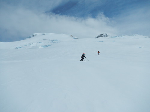
The next day started at around 4am. The Easton glacier is very straightforward, with a huge, nearly unbroken highway right up to the summit cone. At this point this season, the crevasses were either non-existent or almost completely filled in. While we ascended with ropes on, another party did not and we were very confident to ski down unroped. On this day it was much colder than expected, and the previous days mush had turned to ice. Without crampons, we ended up turning around at ~2600m - the final route up the summit cone was significantly steeper than the rest of the glacier and the icefall below did not look like a fun place to slide into. We made it out the same day without difficulty, although as soon as we were back in the moraine the temperature raised by about 30 degrees.
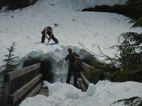
First (unexpected) major obstacle: getting off the bridge across the creek.
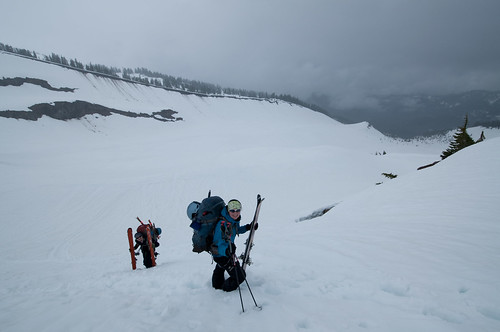
Finally out of the moraine.
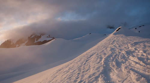
After a day in the tent, the clouds cleared on Sunday night.
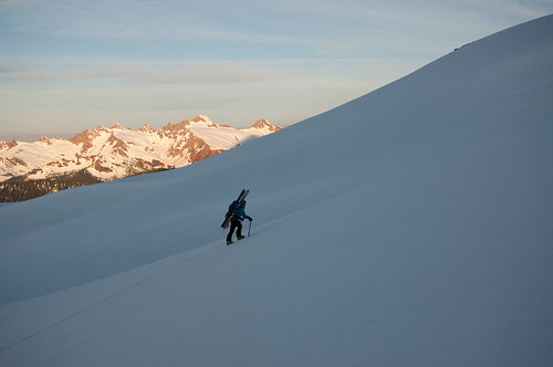
Early morning start, but the sun was up at 4am.
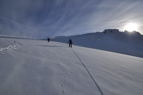
Skis and skins not much use: ski crampons would have been useful.
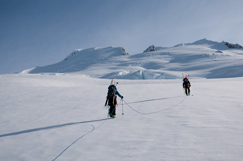
Heading up the Easton highway. Our final route would have been to the right side of the summit cone.
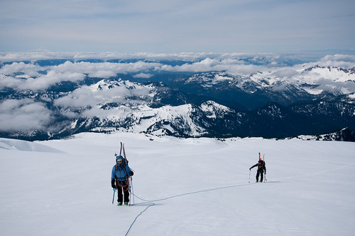
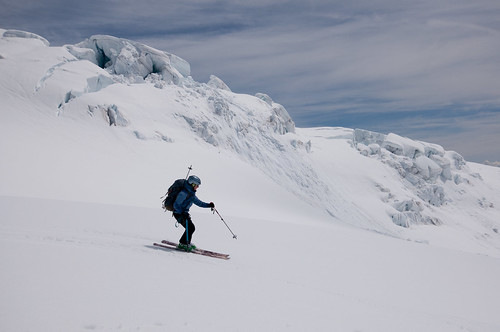
Not a bad backdrop.